Which of your fields needs a visit this week?
REFARM Space reads Copernicus Sentinel-2 satellite images of each field, updated every few days. It compares the crop’s greenness with what is normal there for the time of year, and tells you when a field is worth walking out to check.
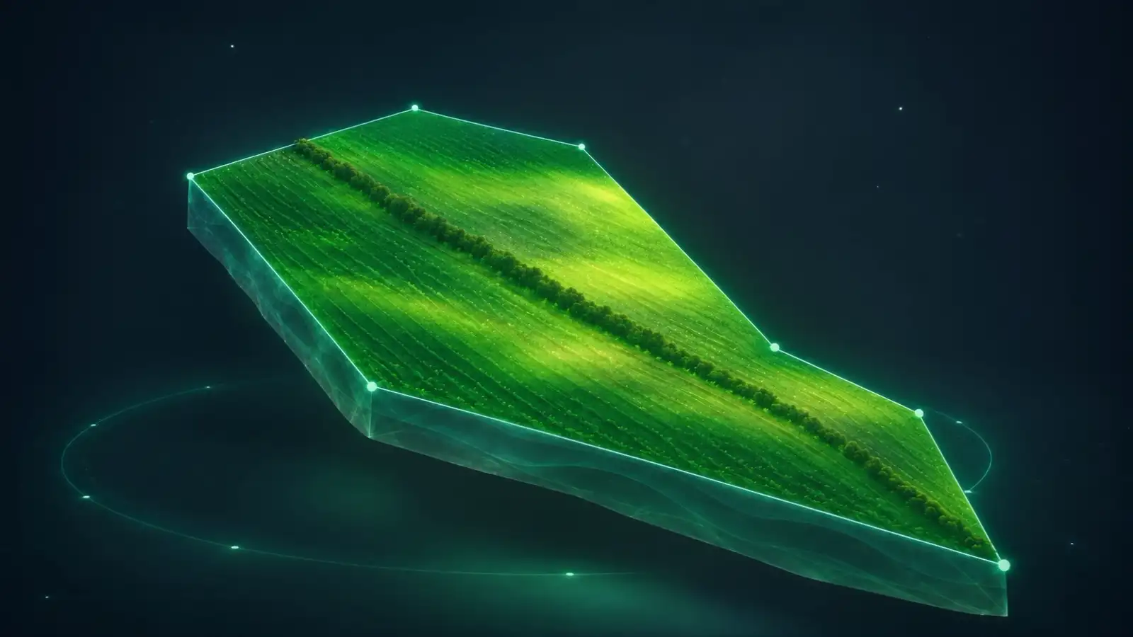
- Sentinel-2 image, 21 Oct 2026
- Volos field, 10.0 ha
- Greenness vs usual: +0.100
Contains modified Copernicus Sentinel data 2026, processed by REFARMproduced using Copernicus WorldDEM-30 © DLR e.V. 2010-2014 and © Airbus Defence and Space GmbH 2014-2018 provided under COPERNICUS by the European Union and ESA; all rights reserved
How it works
Four questions, one real field
Real satellite data from our Volos field.
What the satellite sees
A satellite photographs the field every few days in 10 × 10 m squares. Darker green means more living leaves.
How we measure greenness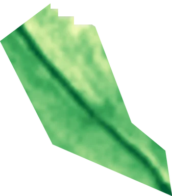
One square
10× 10 m
Squares on this field
about 1,000
Image of Less greenMore green Contains modified Copernicus Sentinel data 2026, processed by REFARM
What it means
We compare each field with its own normal for the time of year. Below it for a while means: take a look.
How the normal is builtGreenness
0.43
Normal for that date
0.33
From the previous five years
Status
Normal
Of the latest clear image
Normal rangeOne clear imageData as of What to do
If a field stays below its normal, you get a suggested check. You decide what happens next.
How warnings become checksSuggested check
No check needed this week
- When
- A field stays clearly below its normal on several clear images in a row
- What
- A short check, for example walking the field and looking at the crop
- Then
- You decide what happens next
A suggested check can be saved as a file that other farm software can read. - Clouds
- Cloudy weeks leave gaps between clear images.
- 10 m squares
- Single trees and narrow strips blur together.
- Simple rules
- A warning says where, not why. A visit tells you why.
How fresh the data is
- Latest satellite image
- Loading the latest satellite image date
- Copernicus Sentinel-2
- Latest drought map
- Loading the latest drought map date
- European Drought Observatory
- Satellite updates
- Every few days
- Clouds can delay a clear image
See the Volos field up close
Turn it in 3D and follow its greenness through the seasons.